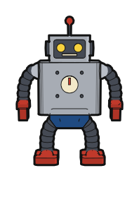
Iron Boy
Tin robot
A classic tin robot that plants its feet firmly. It hovers on longer trips and can carry heavy loads.
HakoniwaKit
Walk the capital of the year 900 in your browser
Tenjin — the god students pray to before exams. That god was once a man: by learning alone, he rose to minister. And soon, he will lose everything. You are a small robot sent from the 21st century to Heian-kyo in the year 900. Walk the city and ask its people, surveying its buildings and daily life, and find out what happened to the Minister of the Right, Sugawara no Michizane, who will be driven from the capital within a year. Why did it happen? Find out — and if it can be stopped, stop it. What you see and hear is kept in your Notebook; there is no winning or losing.
At that time the Fujiwara, who had made their daughters empresses for generations, stood at the centre of government. The former sovereign, Retired Emperor Uda, raised Sugawara no Michizane, a man of a scholars' house, to minister. The present emperor is only sixteen, and government is entrusted to two men: Fujiwara no Tokihira, Minister of the Left, and Michizane, Minister of the Right.
Heian-kyo is the city that became today's Kyoto.
Press it and the city starts loading in a new tab. When it is ready, you appear in the sky above the capital (with music; turn it off with “Music” inside). The first visit downloads about 32 MB and takes one to three minutes. Runs in desktop and mobile browsers.
Once inside, try these first; the rest you will pick up as you walk. You can see them again under “How to play” in ☰ at the top right.
| To do | Desktop | Phone |
|---|---|---|
| Walk | Click the ground to walk there. The farther you click, the faster you go | Tap the ground to walk there |
| Look around | Drag with the left button. WASD also moves you | Drag on the screen |
| Talk | Walk up to someone and press E | Tap a speech bubble or the “Talk” tag |
| Gestures | B bow · G wave · Y flute · Q dance (people answer back) | From “Actions” below |
| Famous places | Pick one from the place list or a map marker at the top left, then choose “Walk there” or “Go now” | |
| More | T Trace (timeline) · N Notebook · ☰ night, music and star map. Stuck? Press “Wander” (O) and your robot strolls on its own | |
The robot is sent from the 21st century to survey Heian-kyo. The aim of the survey is to find out what the capital of a thousand years ago was like, how its people worked, what they enjoyed and how they lived, and to pass that on to the 21st century. To do so, you walk every corner of the city, photograph its buildings and scenery, listen to its people, and put together the report for the 21st century in your Notebook.
The survey has a second mission. On the 25th day of the first month of 901, the Minister of the Right, Sugawara no Michizane, will be driven from the capital. Ask the people of the city why it happens, and afterwards tell the storyteller Furumaru your answer. The clues you gather are listed on the “Inquiry” page of your Notebook. An explanation backed by two clues is marked “certain”; with only one, it is a “rumour”. Furumaru passes on a certain explanation as a reliable account. That is the result of your survey. History does not change. What changes is the mood of the city (the “Mood of the City” page) and the fate of people whose names were never recorded.
Besides playing it as a game, you can use it in these ways.
Emperor Kanmu moved the capital to Heian-kyo in 794. The robot arrives about a hundred years later, in the year 900 (the third year of the Shotai era), under Emperor Daigo. Fujiwara no Tokihira is Minister of the Left and Sugawara no Michizane is Minister of the Right. In the first month of the following year, Michizane is demoted to a post in distant Dazaifu and leaves the capital. It is a time when Rajomon Gate, the Great Hall of State, the palace and the Toji and Saiji temples all stood together.
The grid of streets was never filled with houses, and parts of the western half were already turning into farmland. Those open lots and marshes are still there inside the city.
Research note on the history of the buildings, 794–900 (Japanese) (opens in a new tab)
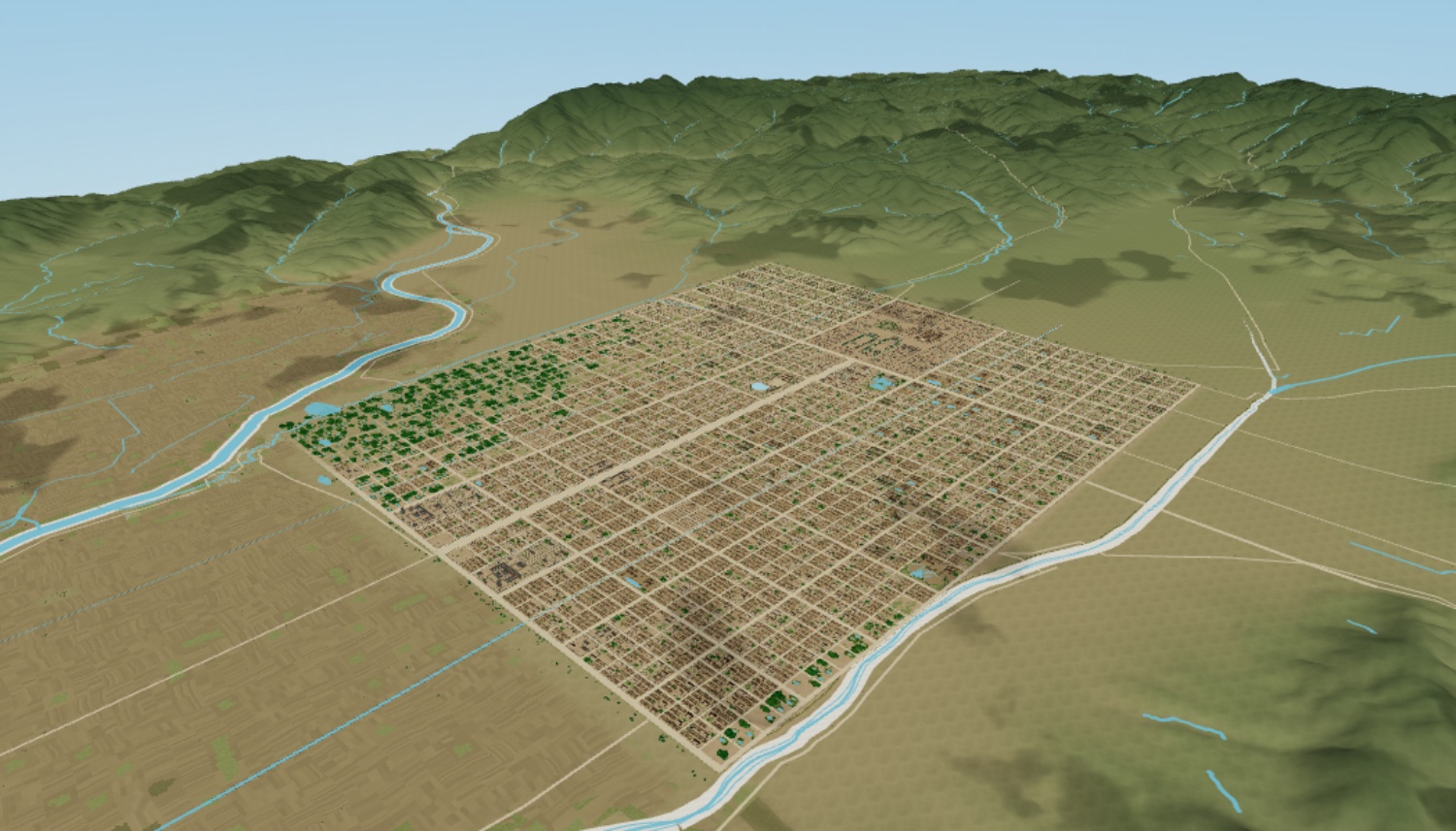
The drone tour flies through 19 places, from Rajomon Gate along Suzaku Avenue to the palace and Toji Temple. Drag and scroll to look from just above the ground to straight overhead. The grid, about 5.2 km north to south and 4.5 km east to west, sits in its real landscape of mountains and rivers.
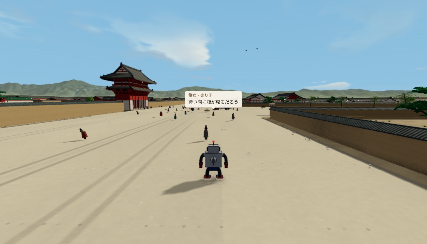
Start from any of 51 places and click the ground (tap on a phone) to walk. You can also go inside some of the buildings. The townspeople's chatter appears in speech bubbles as you pass.
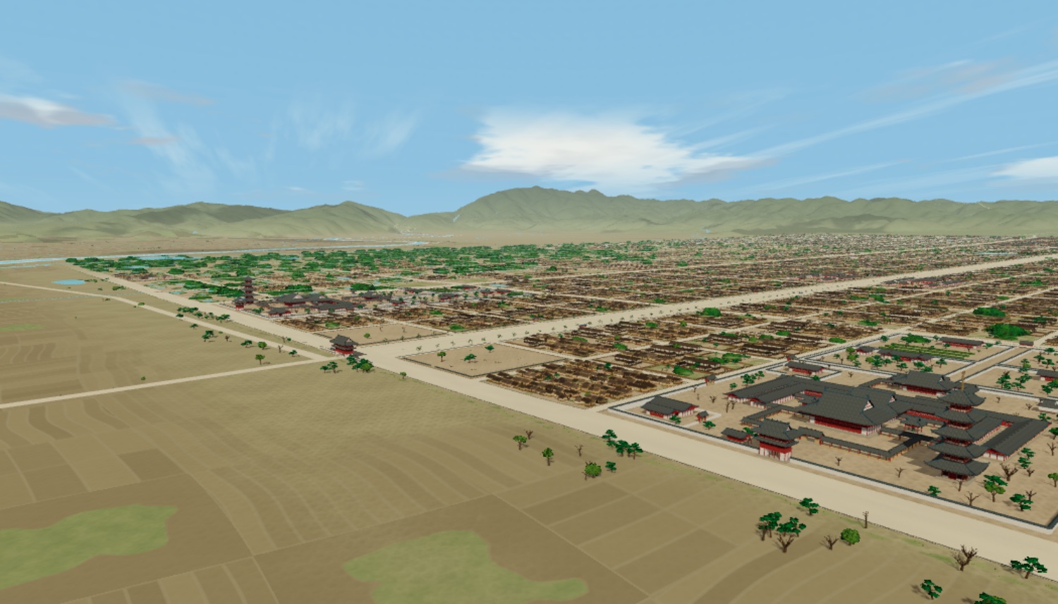
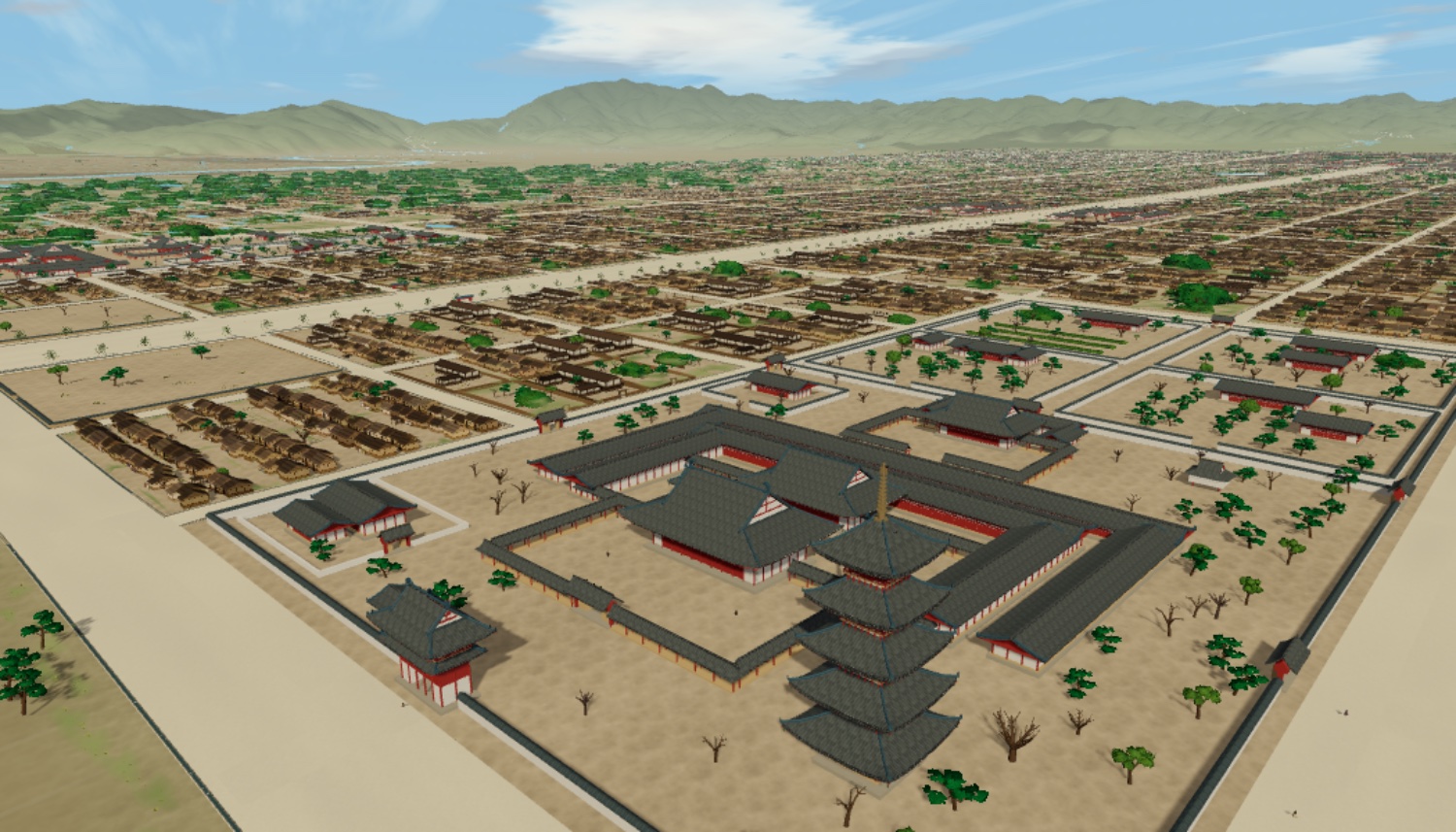
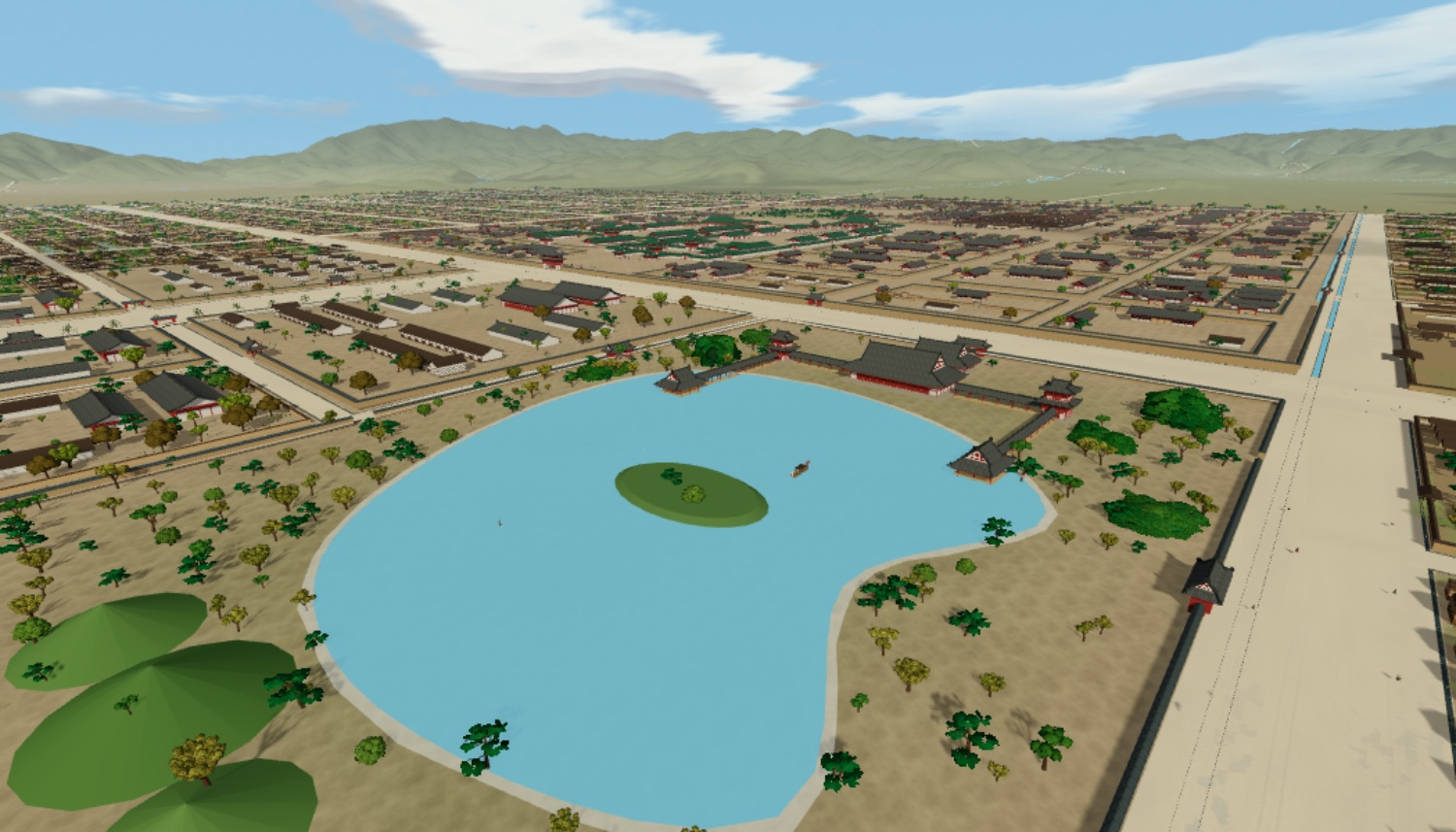
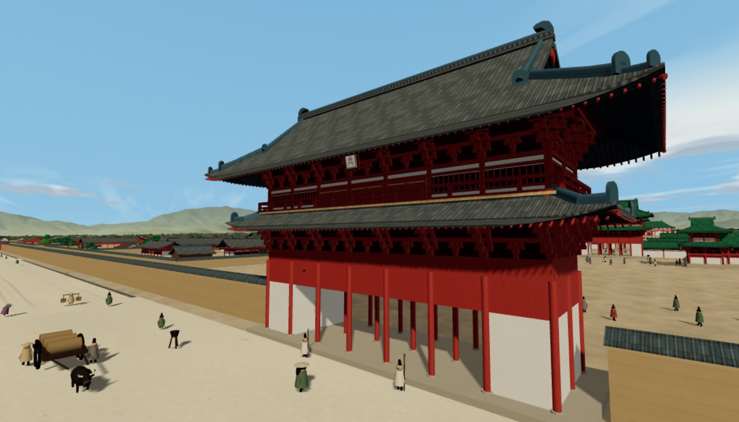
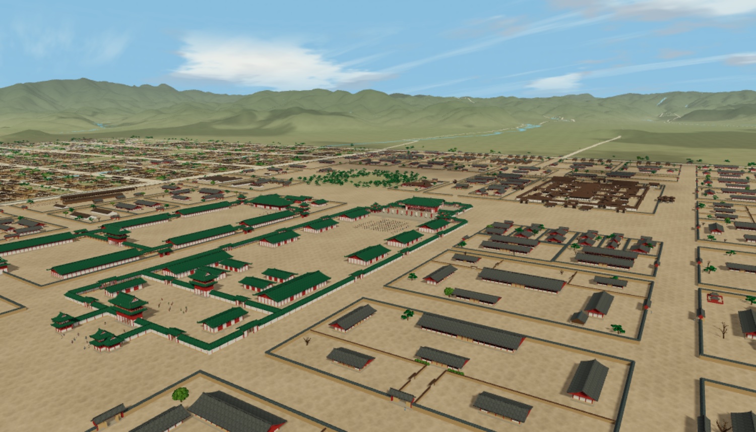
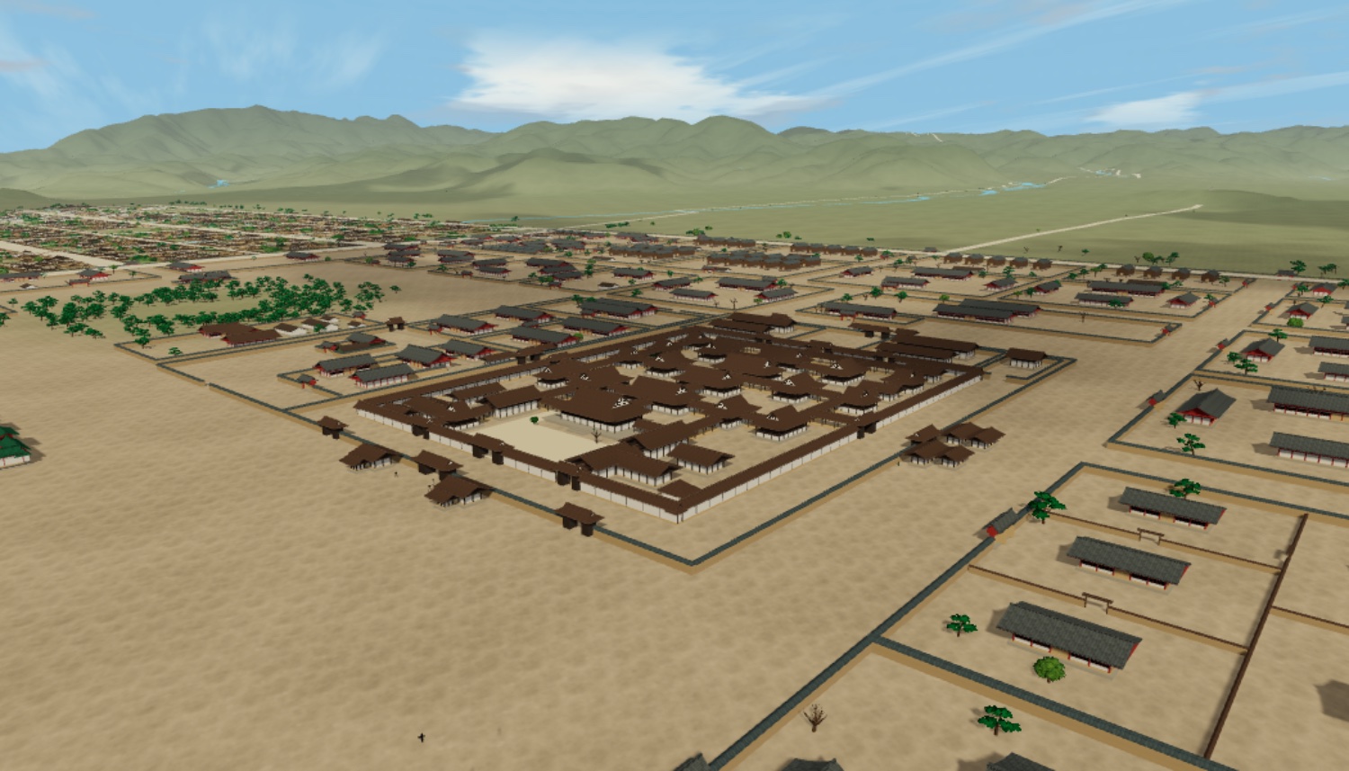
The game has about 4,900 townspeople, and what they say changes with the place, the hour, the season and the weather. Rank, household and whether they side with the Minister of the Left or the Minister of the Right shape how they talk. Ask about their life and they tell you which province they came from, the family back home, how they used to live and what worries them now. Neighbours who live together speak as one household. Earlier events such as the Otenmon Incident and the demon of the Pine Grove of the Banquet come up as rumours. What you hear is kept in your notebook, and each day is written up in a diary. Every line of dialogue is available in English.
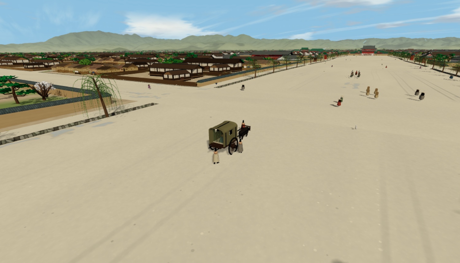
Days pass from the 25th day of the second month of the year 900 to the year 922, following the lunar calendar of the time, including long and short months and leap months. Once you pass the Shotai Incident on the 25th day of the first month of 901, Michizane's ox cart no longer appears, and the townspeople change what they say and where they go. The nobles' ox carts leave their mansions for the palace on schedule. The seasons turn: plum, cherry, new leaves, autumn colour and bare branches, with sunrise and sunset moving through the year. Each day is clear, cloudy or rainy. The East and West Markets open in alternate halves of the month. At night only bonfires and oil lamps break the darkness, as they did then.
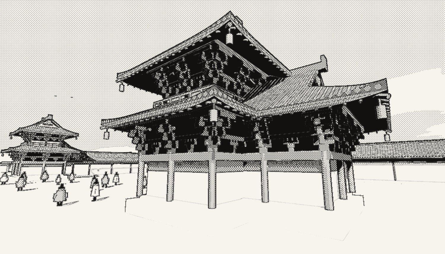
Photo mode saves the view as an image. Each photo goes into your Notebook automatically, together with the names of the buildings and streets in it, and you can pin the ones you want to keep. A caption with the date, weather and place is added, and the share button posts it straight to social media. You can hide the robot to capture just the streets, or shoot in a black-and-white gekiga (dramatic manga) style with ink lines and screentone. Your photos can also serve as backgrounds for your own manga, illustrations and videos (see the questions below for the conditions).
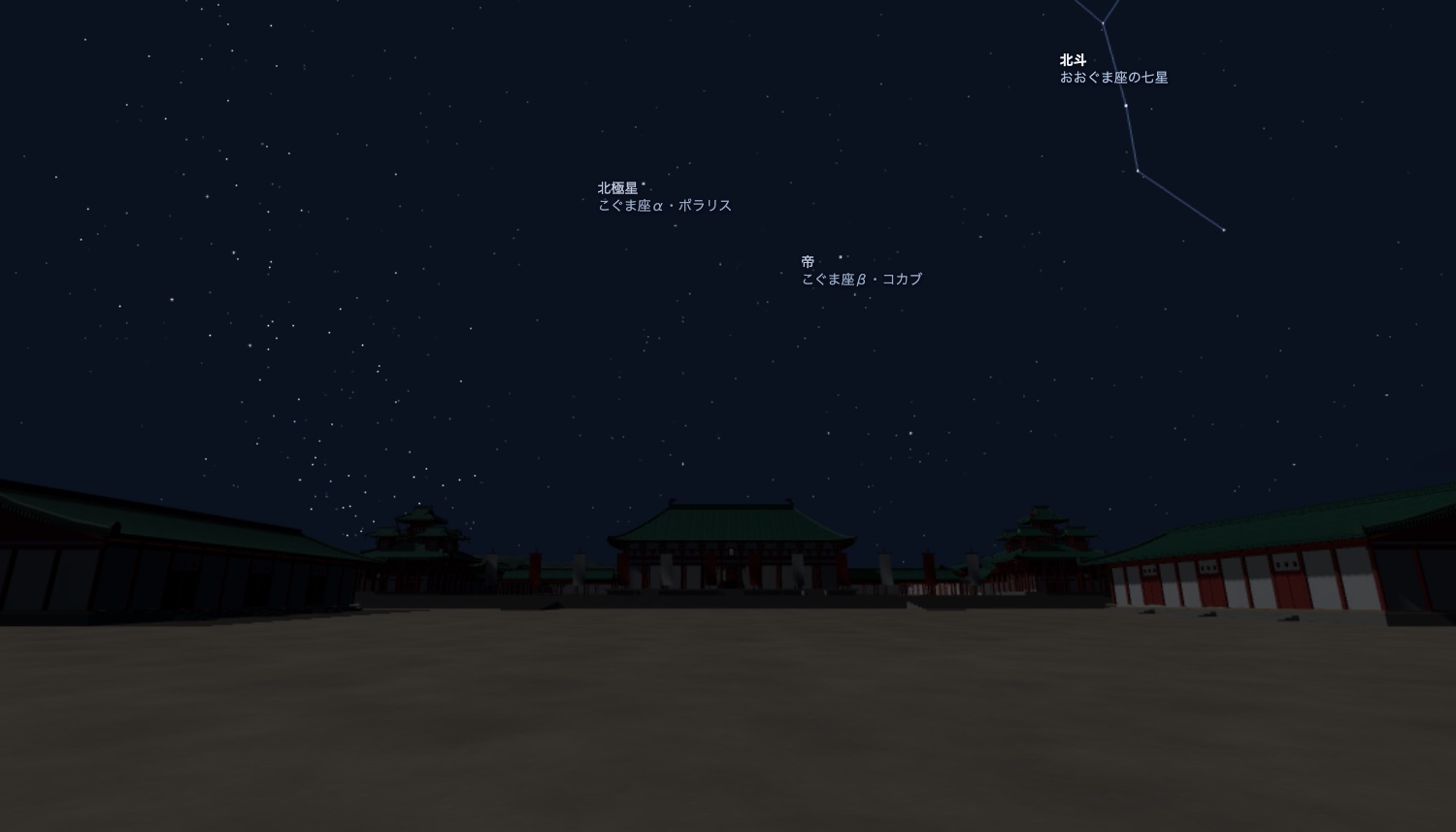
The stars are placed where they stood around the year 901, worked back from a modern star catalogue by calculating the precession of the Earth's axis. Polaris, today's pole star, was about 7° from the celestial pole then, so it does not stay fixed in the north. The moon waxes and wanes, and the planets follow the calendar. You can show the lines and names of the Chinese constellations used at the time, and on clear nights townspeople tell stories about the stars.
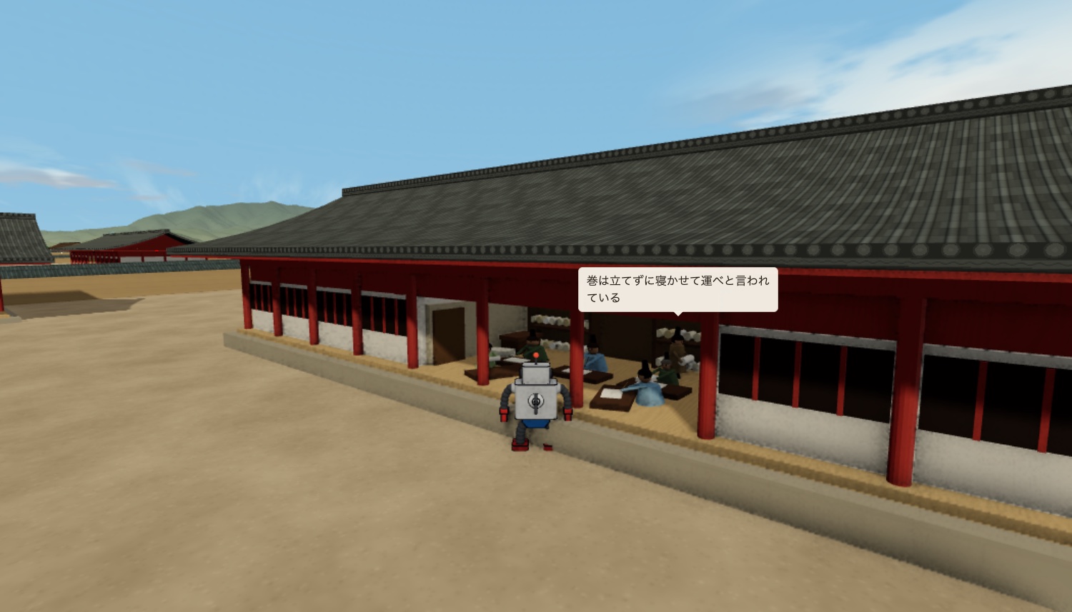
Find a lost child, deliver a love letter, catch a thief of dried fish, look into the pillars of Rajomon Gate, and more. These quest-like requests deepen your ties with the townspeople, bring new stories, and open the way into the palace and the mansions of the nobility.
You explore Heian-kyo as one of three small robots, sent back from the 21st century to survey the city in the year 900. They look and move differently, so pick whichever you like. You can switch any time from the ☰ menu (“Robot”).
Tin robot
A classic tin robot that plants its feet firmly. It hovers on longer trips and can carry heavy loads.
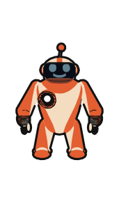
Balloon robot
A soft balloon robot that bounces lightly as it walks. Its jet lifts it into the air, and walls send it boinging back.
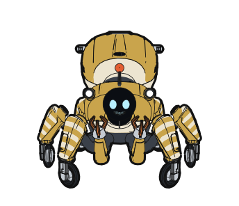
Six-legged robot, named for a spider monster of old tales
Six legs and six wheels carry it across streets and rooftops. It jumps onto a roof in one move and lowers itself from the edge on a thread.
Choose Iron Boy for strength, Balloon Girl for flight, or Tsuchigumo for speed across streets and rooftops.
The capital seen from directly above inside the game. The numbers mark the places where you can start walking, in a city about 5.2 km north to south and 4.5 km east to west. North is up. Suzaku Avenue runs south from the palace precinct at the top to Rajomon Gate. East of it (right) is the Left Capital, and west of it (left) is the Right Capital. Much of the south-west of the Right Capital is still marsh and woodland. You can also start from two places in the outskirts, the top of Mount Funaoka to the north and Toba Port to the south. They are numbered as “Outskirts” in the bands above and below the map.
The image below is the screen while you walk. Each round number in the image matches the same number in the table under it. A short "How to play" guide also appears the first time you open the game, and you can open it again from the ☰ menu at the top right.
| No. | Name | What it does |
|---|---|---|
| 1 | Map and destinations | Choose from the list or a marker on the map to go there. The blue marker shows where you are and which way you face. While walking, only places you have visited or heard about are shown. |
| 2 | Walk | Starts walking on the ground. It reads "Walking" while you walk. |
| 3 | View | The drone tour, back to the overview, photo mode, and fixed viewpoints such as the busy market, the court of the Chodoin and the front of Suzakumon Gate. |
| 4 | Timeline (T) | A timeline of the capital. You can move time forward to turning points such as the Shotai Incident. |
| 5 | Notebook (N) | What you have heard, and a diary of each day. |
| 6 | ☰ menu | Music, time settings, light and shadow, gekiga style, constellations and dialogue on or off, plus the language switch and How to play. |
| 7 | Name tag | The name of a building or gate. |
| 8 | Speech bubble | What a townsperson is saying. |
| 9 | Talk | Appears when someone nearby can be spoken to. Press E or click the tag. |
| 10 | Clock | The date and hour, which market is open and the phase of the moon. Drag the slider to change the hour, or play and speed up time. |
| 11 | Gestures | Jump, dance, pray, bow, wave, lift, sit and follow. The key is shown on each button. |
| 12 | About this place | The name and description of where you are. |
| PC (walking) | Click the ground to walk there / left-drag to look around / WASD to move / E to talk / Shift to skip ahead / Esc to stop walking / H to hide the on-screen prompts |
|---|---|
| PC (from the air) | Drag to turn / scroll to move closer or farther |
| Phone | Drag to look around / tap the ground to walk there / pinch to move closer or farther |
The capital in the game is Heian-kyo about a century after it was laid out, rebuilt on the national elevation data of Japan. Buildings, streets and daily life were reconstructed by comparing city plans, recorded street dimensions, excavation reports and court diaries. The research notes separate what the sources confirm from what is estimated. All 27 research notes are published, in Japanese, as a companion to the reconstruction.
Read the research notes (Japanese) (opens in a new tab)HakoniwaKit is a project to recreate towns, castles and regions, historical or imagined, as miniature worlds (hakoniwa) you can walk in your browser. Heian-kyo is the first. More are planned.
Start in front of Rajomon Gate and walk north along Suzaku Avenue.
Go to Heian-kyo (with sound) (opens in a new tab)